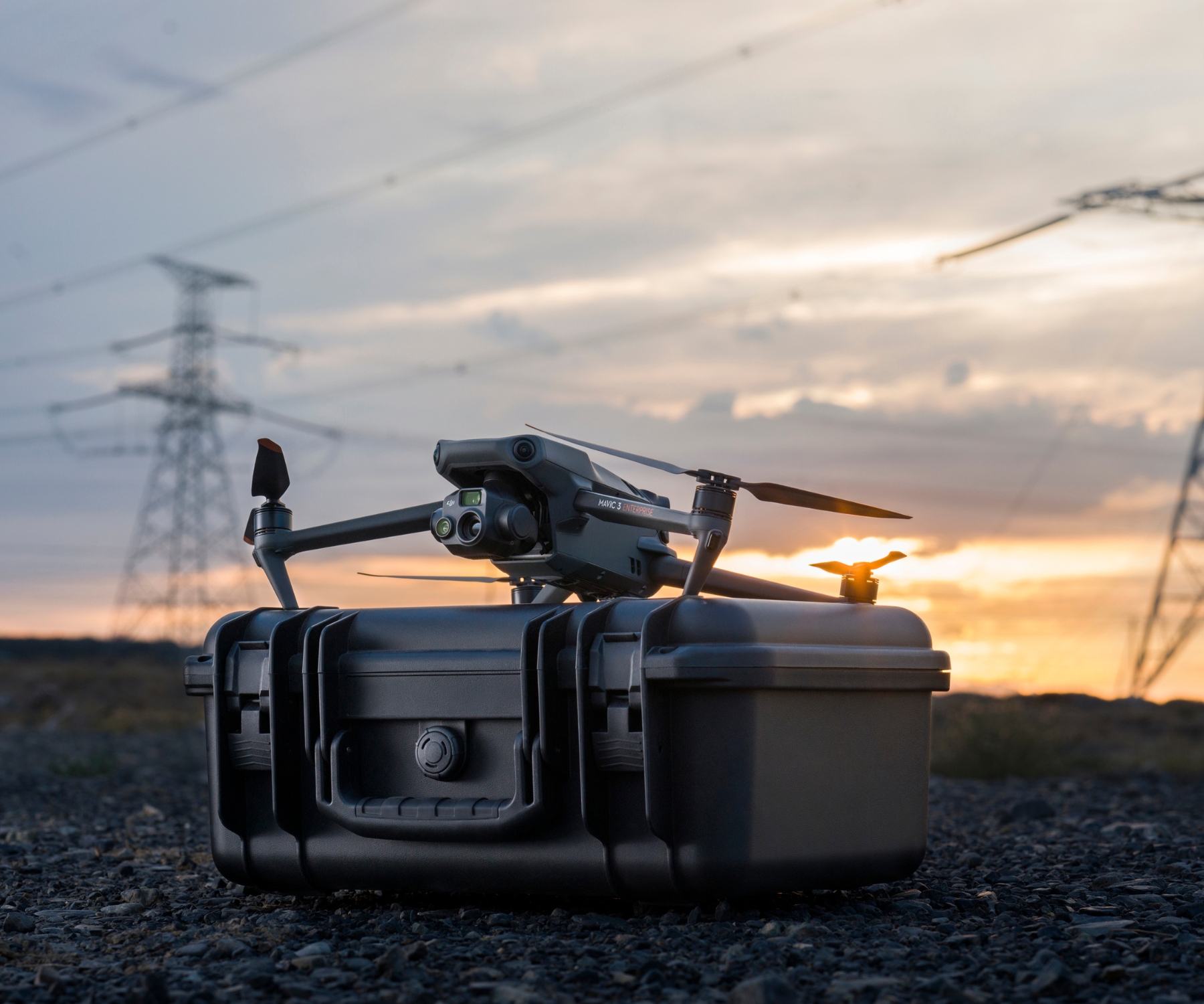
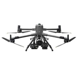
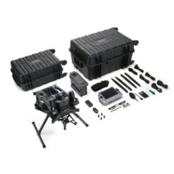
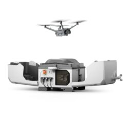
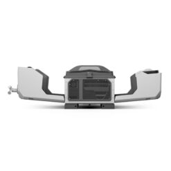
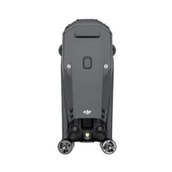
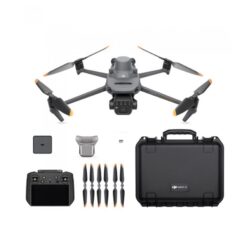
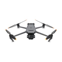
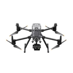
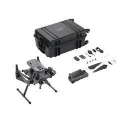
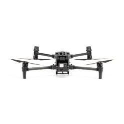
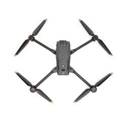
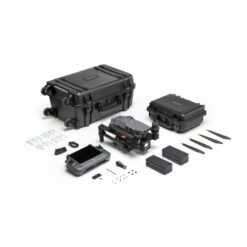
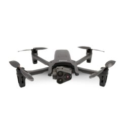
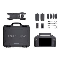
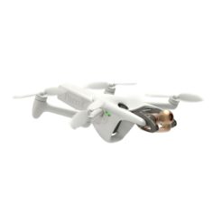
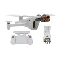
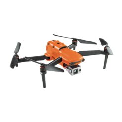
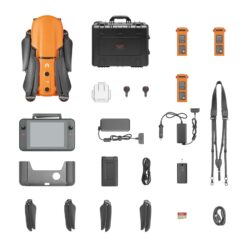
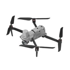
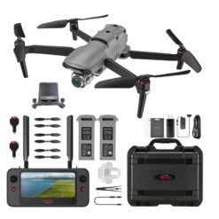
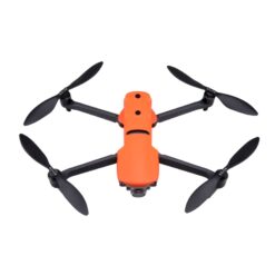
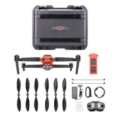
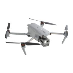
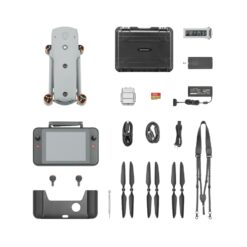
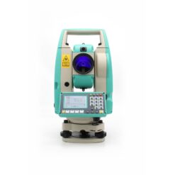
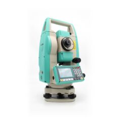
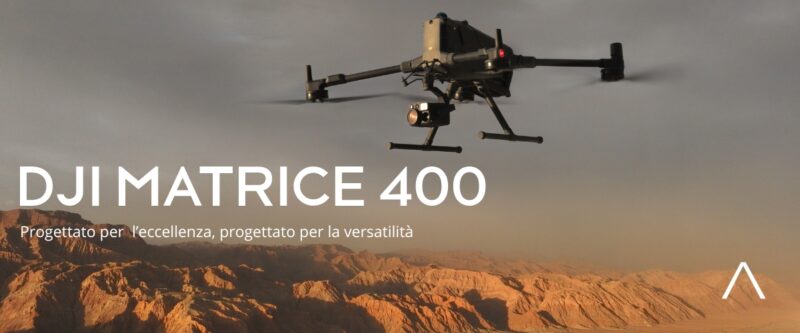
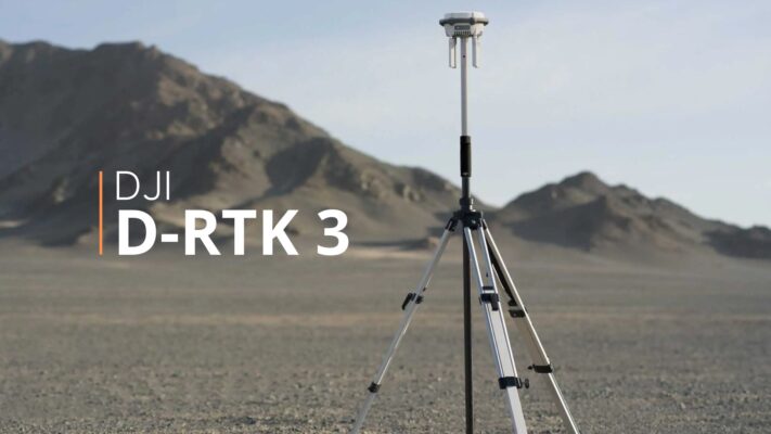
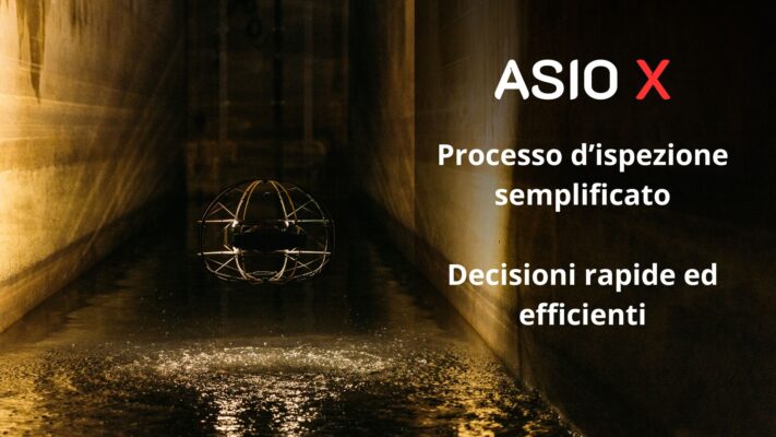
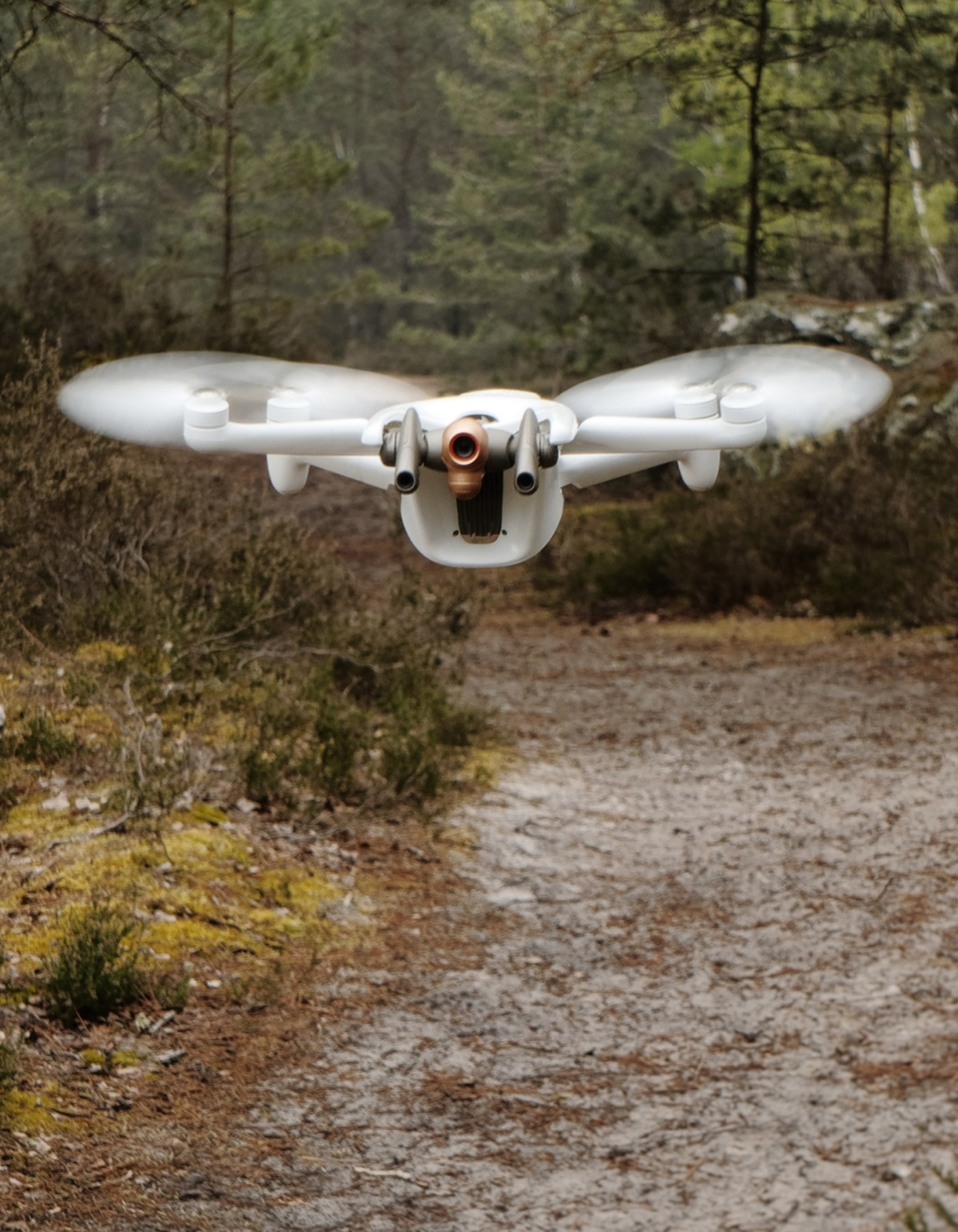
AEMME Surveying is a division of AEMME RE Srl, which designs, develops, produces, imports and distributes on the national territory instruments for topography, construction site and agriculture, offering
technical support and consulting and performing repair, calibration and certification services.

In the field of precision agriculture, AEMME Surveying designs, develops and manufactures systems for the
control of trailed levels, as well as providing sales and service services of laser levels and GNSS positioning
systems.

PROTECTIVE CAGE

SMALLER SIZE

OPTICAL STABILIZATION

UAView Stereo Drone

The indoor drone for high-quality inspections in confined areas. Stereoscopic stabilization and distance measurement directly available in flight.

AEMME UAView Stereo Drone is equipped with a new image-based positioning system to be able to move centimeter-precisely in interior systems. The positioning system allows the drone to maintain exact distances and alignment to walls and ceilings. Laser sensors (lidar) and a stable cage prevent unwanted collisions.

Due to the compact design, Stereo 2 can be used to fly structures that are no larger than 40cm in diameter.

The exceptionally bright LED light system penetrates dust and illuminates the surrounding structures optimally.

The control and video signals of the drone (radio waves) often do not spread ideally indoors. To ensure an optimal connection to the drone, antenna cables can be temporarily or permanently laid.

Go to the product >>